
File:Shetland UK location map.svg
Size of this preview: 252 × 479 pixels.
| |
This is a file from the Wikimedia Commons. Information from its description page there is shown below.
Commons is a freely licensed media file repository. You can help. |
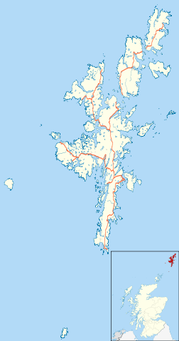
| Description | Blank map of the Shetland Islands, UK with the following information shown:
Equirectangular map projection on WGS 84 datum, with N/S stretched 200% Geographic limits:
|
|||||
| Date | 26 September 2010 | |||||
| Source | Ordnance Survey OpenData.
|
|||||
| Author | Nilfanion, created using Ordnance Survey data | |||||
| Permission ( Reusing this file) |
|
File usage
The following pages on Schools Wikipedia link to this image (list may be incomplete):
Metadata
Did you know...?
Schools Wikipedia has been carefully checked to give you the best learning experience. SOS Children's Villages is famous for the love and shelter it brings to lone children, but we also support families in the areas around our Children's Villages, helping those who need us the most. We have helped children in Africa for many years - you can help too...