
File:Regions of Senegal.svg
Size of this preview: 636 × 479 pixels.
| |
This is a file from the Wikimedia Commons. Information from its description page there is shown below.
Commons is a freely licensed media file repository. You can help. |
Summary
| Description |
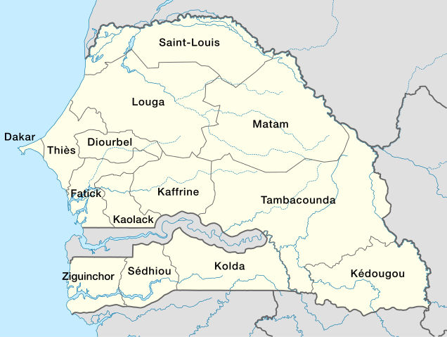
Deutsch: Regionen in Senegal
English: Map of regions in Senegal
Français : Carte des régions du Sénégal
|
||||||
| Date | 15 September 2009 | ||||||
| Source | Own work, using
|
||||||
| Author | NordNordWest | ||||||
| Permission ( Reusing this file) |
|
This map has been made or improved in the German Kartenwerkstatt (Map Lab). You can propose maps to improve as well.
File usage
The following pages on Schools Wikipedia link to this image (list may be incomplete):
Metadata
Learn more about Schools Wikipedia
Wikipedia for Schools was collected by SOS Children. SOS Childrens Villages helps more than 2 million people across 133 countries around the world. Would you like to sponsor a child?