
File:Ghana Topography.png
Size of this preview: 409 × 480 pixels.
| |
This is a file from the Wikimedia Commons. Information from its description page there is shown below.
Commons is a freely licensed media file repository. You can help. |
Summary
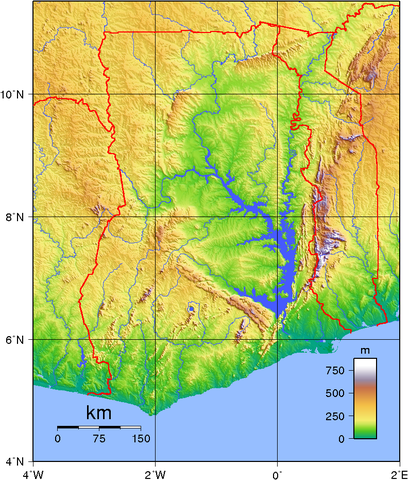
| Description | Topographic map of Ghana. Created with GMT from SRTM data. |
| Date | 2 June 2007 |
| Source | Own work |
| Author | Sadalmelik |
Licensing
 |
This work has been released into the public domain by its author, I, Sadalmelik. This applies worldwide. In some countries this may not be legally possible; if so: I, Sadalmelik grants anyone the right to use this work for any purpose, without any conditions, unless such conditions are required by law.
|
File usage
The following pages on Schools Wikipedia link to this image (list may be incomplete):
Did you know...?
All five editions of Schools Wikipedia were compiled by SOS Childrens Villages. SOS Children's Villages is an international children's charity, providing a good home and loving family to thousands of children who have lost their parents. We also work with communities to help vulnerable families stay together and raise children in the best possible environment. There are many ways to help with SOS Children.