
File:Ug-map.png
Ug-map.png (330 × 354 pixels, file size: 56 KB, MIME type: image/png)
| |
This is a file from the Wikimedia Commons. Information from its description page there is shown below.
Commons is a freely licensed media file repository. You can help. |
Summary
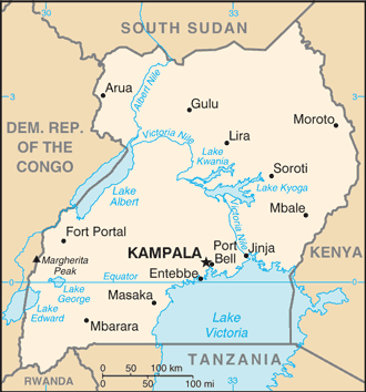
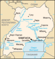
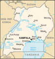
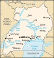
| Description | Uganda map from CIA World Factbook, converted from original GIF format (July 2011 version showing South Sudan)
|
| Date | 13 July 2011 |
| Source | CIA World Factbook
|
| Author | United States Central Intelligence Agency |
Licensing
 |
This image is in the public domain because it contains materials that originally came from the United States Central Intelligence Agency's World Factbook.
|
 |
Derivative works
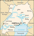
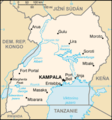
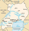
Derivatives of 2002 map (not showing South Sudan):
-

Kaart Oeganda-nl.png
Nederlands -
Kaart Oeganda.png
Afrikaans -
Mapa Ugandy.png
česky -
Ug-map-fr.png
français -
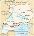
Ug-map-HE.png
עברית -
Ug-map-RU.png
русский -
Uganda CIA map PL.png
polski -
Uganda sm05 tr.gif
Türkçe
File usage
The following pages on Schools Wikipedia link to this image (list may be incomplete):
Schools Wikipedia and SOS Children
Wikipedia for Schools is one of SOS Childrens Villages' many educational projects. SOS Childrens Villages helps more than 2 million people across 133 countries around the world. Would you like to sponsor a child?