
File:Moheli (Comoros) map.jpg
Moheli_(Comoros)_map.jpg (354 × 320 pixels, file size: 19 KB, MIME type: image/jpeg)
| |
This is a file from the Wikimedia Commons. Information from its description page there is shown below.
Commons is a freely licensed media file repository. You can help. |
Summary
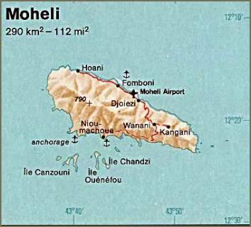
| Description | Moheli. From The Indian Ocean Atlas, CIA, 1976. | ||
| Date | 1976 | ||
| Source | University of Texas Libraries, Perry-Castañeda Library Map Collection: Comoros Maps
|
||
| Author | CIA |
Licensing
 |
This image is a work of a Central Intelligence Agency employee, taken or made as part of that person's official duties. As a Work of the United States Government, this image or media is in the public domain.
|
 |
File usage
The following pages on Schools Wikipedia link to this image (list may be incomplete):
What is Schools Wikipedia?
SOS Children's Villages chose the best bits of Wikipedia to help you learn. SOS Children cares for children who have lost their parents. Our Children's Villages give these children a new home and a new family, while a high-quality education and the best of medical care ensures they will grow up with all they need to succeed in adult life. If you'd like to help, learn how to sponsor a child.