
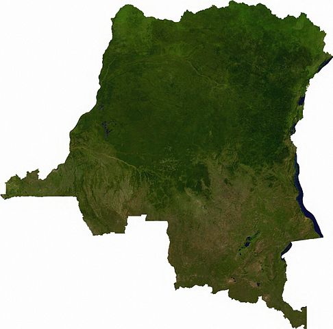
File:Dem congo sat.jpg
Size of this preview: 486 × 479 pixels.
| |
This is a file from the Wikimedia Commons. Information from its description page there is shown below.
Commons is a freely licensed media file repository. You can help. |
Summary
Raster data download July 12, 2006 from The Map Library: exported to TIFF format, and converted to JPEG via Paint.NET.
Licensing
 |
This file is in the public domain, because it was generated by a user, using free sources available at The Map Library. Note that this does not include the maps in the Global Administrative Areas section of the homepage. |
File usage
The following pages on Schools Wikipedia link to this image (list may be incomplete):
Metadata
What is Schools Wikipedia?
SOS Childrens Villages chose the best bits of Wikipedia to help you learn. SOS Childrens Villages helps those who have nothing and no one, giving them back the famly they have lost and bringing them the very best opportunities for a happy, healthy future. Would you like to sponsor a child?