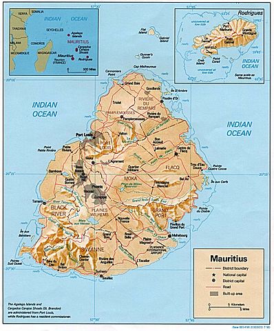
File:Mauritius rel90.jpg
- File
- File usage
- The best way to learn

Size of this preview: 398 × 480 pixels.
The best way to learn
All five editions of Schools Wikipedia were compiled by SOS Children. Our 500 Children's Villages provide a home for thousands of vulnerable children. Beyond our Villages, we support communities, helping local people establish better schools and delivering effective medical care to vulnerable children. Want to learn more? Go to http://www.soschildrensvillages.org.uk/sponsor-a-child


