
File:NorthernIrelandNumberedProposed2005.png
NorthernIrelandNumberedProposed2005.png (400 × 323 pixels, file size: 35 KB, MIME type: image/png)
| |
This is a file from the Wikimedia Commons. Information from its description page there is shown below.
Commons is a freely licensed media file repository. You can help. |
Summary
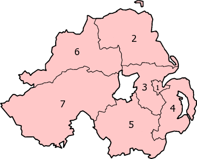
| Description | Map of the proposed new en:districts of Northern Ireland. Made by en:User:Morwen, based on en:Image:NorthernIrelandNumbered.png. |
| Date | 23 November 2005 |
| Source | en:Image:NorthernIrelandNumberedProposed2005.png |
| Author | en:User:Morwen |
| Permission ( Reusing this file) |
GFDL |
Licensing
 |
Permission is granted to copy, distribute and/or modify this document under the terms of the GNU Free Documentation License, Version 1.2 or any later version published by the Free Software Foundation; with no Invariant Sections, no Front-Cover Texts, and no Back-Cover Texts. Subject to disclaimers.
|
| This file is licensed under the Creative Commons Attribution-Share Alike 3.0 Unported license. Subject to disclaimers. | ||
|
||
| This licensing tag was added to this file as part of the GFDL licensing update.
|
File usage
The following pages on Schools Wikipedia link to this image (list may be incomplete):
Learn more
Schools Wikipedia was created by children's charity SOS Children. In 133 nations around the world, SOS Children works to bring better education and healthcare to families in desperate need of support. Would you like to sponsor a child?