
File:Ethiopia location map.svg
Size of this preview: 592 × 480 pixels.
| |
This is a file from the Wikimedia Commons. Information from its description page there is shown below.
Commons is a freely licensed media file repository. You can help. |
Summary
| Description |
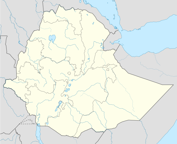
Deutsch: Positionskarte von Äthiopien
Quadratische Plattkarte, N-S-Streckung 102 %. Geographische Begrenzung der Karte:
English: Location map of Ethiopia
Equirectangular projection, N/S stretching 102 %. Geographic limits of the map:
|
||||||
| Date | 11 September 2009 | ||||||
| Source | Own work, using
|
||||||
| Author | NordNordWest | ||||||
| Permission ( Reusing this file) |
|
This map has been made or improved in the German Kartenwerkstatt (Map Lab). You can propose maps to improve as well.
File usage
The following pages on Schools Wikipedia link to this image (list may be incomplete):
Metadata
About Schools Wikipedia
Learning is fun and easy with Schools Wikipedia. In 133 nations around the world, SOS Childrens Villages works to bring better education and healthcare to families in desperate need of support. Learn more about child sponsorship.