
File:Zambia location map.svg
Size of this preview: 554 × 479 pixels.
| |
This is a file from the Wikimedia Commons. Information from its description page there is shown below.
Commons is a freely licensed media file repository. You can help. |
Summary
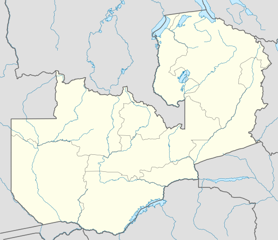
| Description |
Deutsch: Positionskarte von Sambia
Quadratische Plattkarte, N-S-Streckung 103 %. Geographische Begrenzung der Karte:
English: Location map of Zambia
Equirectangular projection, N/S stretching 103 %. Geographic limits of the map:
|
| Date | 12 July 2009 |
| Source | Own work, using
|
| Author | NordNordWest |
This map has been made or improved in the German Kartenwerkstatt (Map Lab). You can propose maps to improve as well.
Licensing
|

File usage
The following pages on Schools Wikipedia link to this image (list may be incomplete):
Metadata
Schools Wikipedia and SOS Children
This selection has made Wikipedia available to all children. SOS Childrens Villages is there for the children in our care until they are ready for independence. Learn more about child sponsorship.