Checked content

File:Blank map of Europe cropped.svg
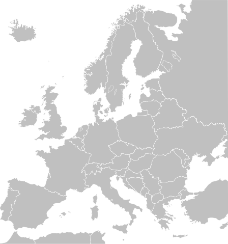
Description Cropped version of Blank map of Europe.svg as descriped by its author.
English: A blank Map of Europe in SVG format. Every country has an id and class which is its ISO-3116-1-ALPHA2 code in lower case for easy coloring. Countries can be colored using just a text editor.
Deutsch: Eine Blankokarte Europas im SVG-Format. Jedes Land hat seinen ISO-3116-1-ALPHA2-Code als ID, damit man es einfacher Einfärben kann.
Date 8 June 2007
Source Blank map of Europe.svg by Maix, which is based on Europe countries.svg by Tintazul
Author stated in source
Permission
( Reusing this file)
I, the copyright holder of this work, hereby publish it under the following license:
w:en:Creative Commons
attribution share alike
This file is licensed under the Creative Commons Attribution-Share Alike 2.5 Generic license.
You are free:
  • to share – to copy, distribute and transmit the work
  • to remix – to adapt the work
Under the following conditions:
  • attribution – You must attribute the work in the manner specified by the author or licensor (but not in any way that suggests that they endorse you or your use of the work).
  • share alike – If you alter, transform, or build upon this work, you may distribute the resulting work only under the same or similar license to this one.

The following pages on Schools Wikipedia link to this image (list may be incomplete):

Metadata

More information

SOS Childrens Villages has brought Wikipedia to the classroom. By supporting vulnerable children right through to adulthood, SOS Children's Villages makes a lasting difference to the lives of thousands of people. Education is a key part of our work, and our schools provide high-quality teaching to the children in our care. If you'd like to help, learn how to sponsor a child.