
File:Pumpkin stem.jpg
- File
- File usage
- Metadata
- Learn more about Schools Wikipedia
Size of this preview: 640 × 480 pixels.
| |
This is a file from the Wikimedia Commons. Information from its description page there is shown below.
Commons is a freely licensed media file repository. You can help. |
|
Camera location |
|
This and other images at their locations on: Google Maps - Google Earth - OpenStreetMap | ( Info) |
|---|
| Description |
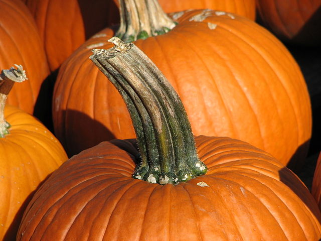
English: A shot of a pumpkin, focused on its stem.
Esperanto: La tigo de kukurbo.
Français : Cliché de courges, centrée sur la queue.
|
||||||
| Date | 8 October 2006 | ||||||
| Source | Taken by bdesham with a Canon PowerShot S3. ●● From Flickr. |
||||||
| Author | Benjamin D. Esham ( bdesham) | ||||||
| Permission ( Reusing this file) |
As a courtesy (but not a requirement), please e-mail me or leave a note on my talk page if you use this image outside of Wikipedia. Thanks!
|
 |
This image has been assessed using the Quality image guidelines and is considered a Quality image.
|
Metadata
Learn more about Schools Wikipedia
Through Schools Wikipedia, SOS Children's Villages has brought learning to children around the world. SOS Childrens Villages helps more than 2 million people across 133 countries around the world. Would you like to sponsor a child?