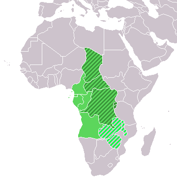
File:LocationCentralMiddleAfrica.png
LocationCentralMiddleAfrica.png (360 × 392 pixels, file size: 14 KB, MIME type: image/png)
File usage
The following pages on Schools Wikipedia link to this image (list may be incomplete):
Find out more
Wikipedia for Schools is one of SOS Childrens Villages' many educational projects. More than 2 million people benefit from the global charity work of SOS Children's Villages, and our work in 133 countries around the world is vital to ensuring a better future for vulnerable children. Want to learn more? Go to http://www.soschildrensvillages.org.uk/sponsor-a-child


