
File:Laos ricefields.JPG
Size of this preview: 640 × 480 pixels.
| |
This is a file from the Wikimedia Commons. Information from its description page there is shown below.
Commons is a freely licensed media file repository. You can help. |
|
Camera location |
|
View this and other nearby images on: Google Maps - Google Earth - OpenStreetMap | ( Info) |
|---|
Summary
| Description |
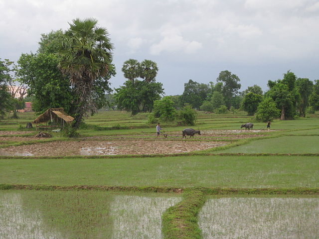
Ricefield on Don Det, Laos |
| Date | Photo taken on 5 June 2009 |
| Source | Photo taken by author |
| Author | Gorgo |
| Permission ( Reusing this file) |
Released in Wikimedia Commons under PD by author. |
Licensing
If you use this image outside of projects of the Wikimedia Foundation attribution to Wikimedia Commons or another project of the Wikimedia Foundation is appreciated.
 |
I, the copyright holder of this work, release this work into the public domain. This applies worldwide. In some countries this may not be legally possible; if so: I grant anyone the right to use this work for any purpose, without any conditions, unless such conditions are required by law.
|
File usage
The following pages on Schools Wikipedia link to this image (list may be incomplete):
Metadata
I want to learn more...
All five editions of Schools Wikipedia were compiled by SOS Children. SOS Children works in 133 countries and territories across the globe, helps more than 62,000 children, and reaches over 2 million people in total. Find out more about sponsoring a child.