
File:Guernsey.png
Size of this preview: 523 × 479 pixels.
| |
This is a file from the Wikimedia Commons. Information from its description page there is shown below.
Commons is a freely licensed media file repository. You can help. |
 |
This map has been uploaded by Electionworld from en.wikipedia.org to enable the |
Summary
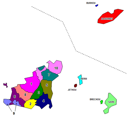
Map of the administrative divisions of the Bailiwick of Guernsey. Created by Rarelibra for public domain use. Created using MapInfo Professional v7.5 and various mapping resources.
Licensing
 |
I, the copyright holder of this work, release this work into the public domain. This applies worldwide. In some countries this may not be legally possible; if so: I grant anyone the right to use this work for any purpose, without any conditions, unless such conditions are required by law.
|
File usage
The following pages on Schools Wikipedia link to this image (list may be incomplete):
About Schools Wikipedia
All five editions of Schools Wikipedia were compiled by SOS Childrens Villages. SOS Children's Villages helps those who have nothing and no one, giving them back the famly they have lost and bringing them the very best opportunities for a happy, healthy future. Have you heard about child sponsorship? Learn more...