
File:Map of Brunei Demis.png
Size of this preview: 422 × 480 pixels.
| |
This is a file from the Wikimedia Commons. Information from its description page there is shown below.
Commons is a freely licensed media file repository. You can help. |
Summary
| Description |
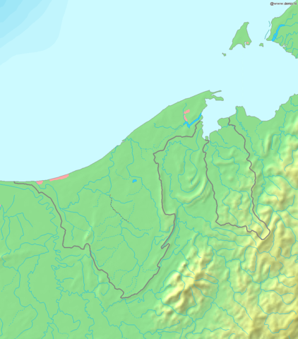
Deutsch: Topografische Karte von Brunei. Quadratische Plattkarte, Zentrum: 4°39′00″N 114°45′00″E / 4.65000°N 114.75000°E. Geographische Begrenzung der Karte:
English: Blank relief map of Brunei. Equirectangular projection centered at 4°39′00″N 114°45′00″E / 4.65000°N 114.75000°E. Geographic limits of the map:
Français : Carte du relief vierge du Brunei. Projection équirectangulaire centrée en 4°39′00″N 114°45′00″E / 4.65000°N 114.75000°E. Limites géographiques de la carte :
|
| Date | 20 December 2006 |
| Source | Own work, using Demis data |
| Author | Mats Halldin ( talk) |
Licensing
 |
This image is in the public domain because it came from the site http://www.demis.nl/home/pages/Gallery/examples.htm and was released by the copyright holder. Permission is granted to copy, distribute and/or modify this map since it is based on free of copyright images from: www.demis.nl. See also approval email on de.wp and its clarification.
|
File usage
The following pages on Schools Wikipedia link to this image (list may be incomplete):
Metadata
What is Schools Wikipedia?
This selection has made Wikipedia available to all children. SOS Children helps more than 2 million people across 133 countries around the world. Have you heard about child sponsorship? Learn more...