
File:Innsbruck Panorama Nordkette 3.jpg
Size of this preview: 640 × 385 pixels.
| |
This is a file from the Wikimedia Commons. Information from its description page there is shown below.
Commons is a freely licensed media file repository. You can help. |
|
| Description |
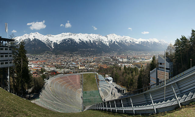
Deutsch: Panorama aus mehreren Bilder von der Bergiselschanze auf Innsbruck mit der noch schneebedeckten Nordkette.
|
||||||
| Date | 6 April 2009 | ||||||
| Source | Own work | ||||||
| Author | böhringer friedrich | ||||||
| Permission ( Reusing this file) |
|

|
Camera location |
|
View this and other nearby images on: Google Maps - Google Earth - OpenStreetMap | ( Info) |
|---|
| Feel free to use my photos, but please mention me as the author and if you want send me a message. or ( rufre@lenz-nenning.at) |
| Annotations | This image is annotated: View the annotations at Commons |
File usage
The following pages on Schools Wikipedia link to this image (list may be incomplete):
Metadata
About Schools Wikipedia
Wikipedia for Schools is designed to make learning fun and easy. By supporting vulnerable children right through to adulthood, SOS Childrens Villages makes a lasting difference to the lives of thousands of people. Education is a key part of our work, and our schools provide high-quality teaching to the children in our care. There are many ways to help with SOS Children.