
File:Map of Darfur 2011.png
Size of this preview: 543 × 479 pixels.
| |
This is a file from the Wikimedia Commons. Information from its description page there is shown below.
Commons is a freely licensed media file repository. You can help. |
Summary
| Description |
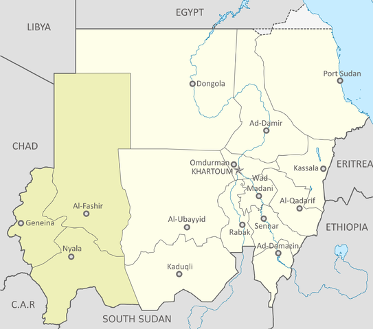
English: Map of Darfur within Sudan, July 2011.
|
| Date | 8 July 2011 |
| Source | Sudan location map.svg Map of Darfur-en.png |
| Author |
|
Licensing
| This file is licensed under the Creative Commons Attribution-Share Alike 3.0 Unported license. | ||
|
File usage
The following pages on Schools Wikipedia link to this image (list may be incomplete):
Background information
Learning is fun and easy with Schools Wikipedia. SOS Children's Villages cares for children who have lost their parents. Our Children's Villages give these children a new home and a new family, while a high-quality education and the best of medical care ensures they will grow up with all they need to succeed in adult life. Find out more about sponsoring a child.