
File:USGS Sunda Trench.JPG
USGS_Sunda_Trench.JPG (611 × 461 pixels, file size: 62 KB, MIME type: image/jpeg)
| |
This is a file from the Wikimedia Commons. Information from its description page there is shown below.
Commons is a freely licensed media file repository. You can help. |
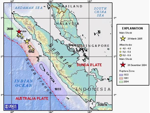
| Description | en:USGS image depicting en:earthquake zones for the en:Sunda Trench - en:1833, en:1861, en:26 December en:2004 Indian Ocean earthquake, and en:28 March en:2005 Sumatran earthquake. |
| Date | 2005-03-31 (original upload date) |
| Source | Originally from en.wikipedia; description page is/was here. |
| Author | Original uploader was Peter Ellis at en.wikipedia |
| Permission ( Reusing this file) |
PD-USGOV-INTERIOR-USGS. |
Licensing
 |
This image is in the public domain because it contains materials that originally came from the United States Geological Survey, an agency of the United States Department of the Interior. For more information, see the official USGS copyright policy. български | català | Deutsch | English | español | eesti | suomi | français | galego | italiano | 한국어 | македонски | മലയാളം | Nederlands | polski | português | русский | Türkçe | 中文 | 中文(简体) | +/− |
|
File usage
The following pages on Schools Wikipedia link to this image (list may be incomplete):
Schools Wikipedia and SOS Children
Schools Wikipedia was created by children's charity SOS Childrens Villages. SOS Childrens Villages helps more than 2 million people across 133 countries around the world. Find out more about sponsoring a child.