
File:TTO orthographic.svg
Size of this preview: 480 × 480 pixels.
| |
This is a file from the Wikimedia Commons. Information from its description page there is shown below.
Commons is a freely licensed media file repository. You can help. |
Summary
| Description |
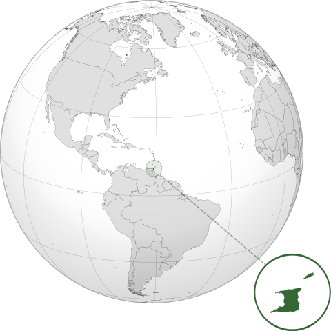
English: Orthographic map of Trinidad and Tobago centered at 17° N, 62° W.
Official territory.
Claimed territories.
|
||
| Date | 8 July 2012 | ||
| Source | Own work with Natural Earth Data
|
||
| Author | Addicted04 |
Licensing
|
File usage
The following pages on Schools Wikipedia link to this image (list may be incomplete):
Metadata
Find out about Schools Wikipedia
Wikipedia for Schools is one of SOS Children's many educational projects. By supporting vulnerable children right through to adulthood, SOS Children makes a lasting difference to the lives of thousands of people. Education is a key part of our work, and our schools provide high-quality teaching to the children in our care. Sponsoring a child is the coolest way to help.