
File:Scottish infobox template map.png
Size of this preview: 360 × 479 pixels.
| |
This is a file from the Wikimedia Commons. Information from its description page there is shown below.
Commons is a freely licensed media file repository. You can help. |
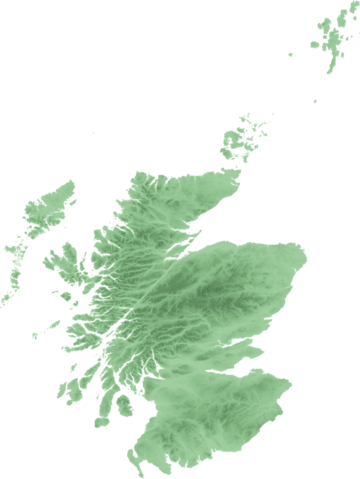
| Description | Topo map of Scotland for use in Scottish infoboxes - equidistant cylindrical projection as naturaly outputted from SRTM data, stretched 150% vertically as deduced by w:User:Anameofmyveryown for easier viewing. |
| Date | 21 September 2007 |
| Source | SRTM data from NASA, PD |
| Author | SFC9394 |
Licensing
 |
Permission is granted to copy, distribute and/or modify this document under the terms of the GNU Free Documentation License, Version 1.2 or any later version published by the Free Software Foundation; with no Invariant Sections, no Front-Cover Texts, and no Back-Cover Texts. A copy of the license is included in the section entitled GNU Free Documentation License.
|
| This file is licensed under the Creative Commons Attribution-Share Alike 3.0 Unported license. | ||
|
||
| This licensing tag was added to this file as part of the GFDL licensing update.
|
File usage
The following pages on Schools Wikipedia link to this image (list may be incomplete):
Find out about Schools Wikipedia
Schools Wikipedia was launched to make learning available to everyone. SOS Children is famous for the love and shelter it brings to lone children, but we also support families in the areas around our Children's Villages, helping those who need us the most. Find out how you can help children in other countries.