File:GangesCanal2.jpg

| Description |
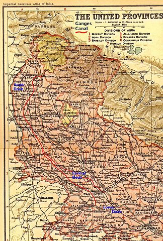
Map of the United Provinces, British India, showing the Ganges Canal |
|---|---|
| Source |
Imperial Gazetteer of India Atlas |
| Date |
1908 |
| Author |
R. Bartholomew and Sons, Edinburgh |
| Permission ( Reusing this file) |
See below.
|
Scanned, reduced, highlighted Ganges Canal in red, and uploaded from personal copy by Fowler&fowler «Talk» 23:59, 14 November 2009 (UTC)
 |
This file might not be in the public domain outside the United States and should not be transferred to Wikimedia Commons unless it can be verified to be in the public domain in its country of first publication, as Commons requires that images be free in the source country and in the United States. If this file is in the public domain outside the United States, add |pdsource=yes to this template to hide this warning. |
File usage
Metadata
Schools Wikipedia and SOS Children
All five editions of Schools Wikipedia were compiled by SOS Children. SOS Children is an international children's charity, providing a good home and loving family to thousands of children who have lost their parents. We also work with communities to help vulnerable families stay together and raise children in the best possible environment. There are many ways to help with SOS Childrens Villages.

