
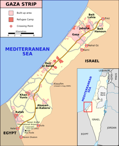
File:Gaza Strip map2.svg
Size of this preview: 391 × 479 pixels.
| |
This is a file from the Wikimedia Commons. Information from its description page there is shown below.
Commons is a freely licensed media file repository. You can help. |
Summary
| Description |
English: Map of Gaza Strip, Stand December 2008 (SVG version of File:Gaza Strip map.png by Lencer)
Français : Carte de la bande de Gaza (décembre 2008)
|
| Date | 9 January 2009 |
| Source | SVG version of File:Gaza_Strip_map.png, created using Inkscape v. 0.46. with help from GIMP 2.4.7.:
|
| Author | Gringer ( talk) 14:01, 8 January 2009 (UTC) |
Licensing
| This file is licensed under the Creative Commons Attribution-Share Alike 3.0 Unported license. | ||
|
File usage
The following pages on Schools Wikipedia link to this image (list may be incomplete):
Metadata
A background to Schools Wikipedia
Wikipedia for Schools brings Wikipedia into the classroom. By supporting vulnerable children right through to adulthood, SOS Children's Villages makes a lasting difference to the lives of thousands of people. Education is a key part of our work, and our schools provide high-quality teaching to the children in our care. Sponsoring a child is a great way to help children who need your support.