
File:Bedfordshire UK location map.svg
Size of this preview: 424 × 479 pixels.
| |
This is a file from the Wikimedia Commons. Information from its description page there is shown below.
Commons is a freely licensed media file repository. You can help. |
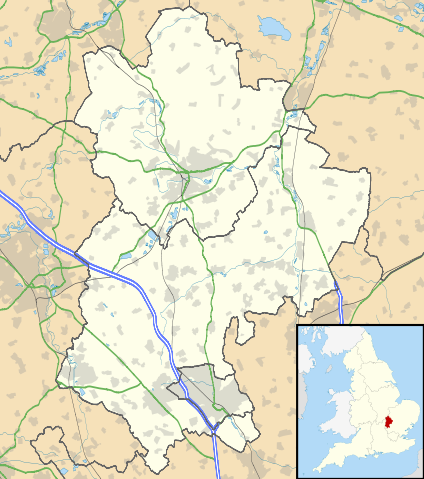
| Description | Map of Bedfordshire, UK with the following information shown:
Equirectangular map projection on WGS 84 datum, with N/S stretched 160% Geographic limits:
|
|||||
| Date | 4 September 2010 | |||||
| Source | Ordnance Survey OpenData.
|
|||||
| Author | Nilfanion, created using Ordnance Survey data | |||||
| Permission ( Reusing this file) |
|
File usage
The following pages on Schools Wikipedia link to this image (list may be incomplete):
Metadata
Learn more about Schools Wikipedia
Schools Wikipedia was created by children's charity SOS Children's Villages. In 133 nations around the world, SOS Children's Villages works to bring better education and healthcare to families in desperate need of support. If you'd like to help, learn how to sponsor a child.