 |
This is a file from the Wikimedia Commons. Information from its description page there is shown below.
Commons is a freely licensed media file repository. You can help.
|
Summary
| Description |
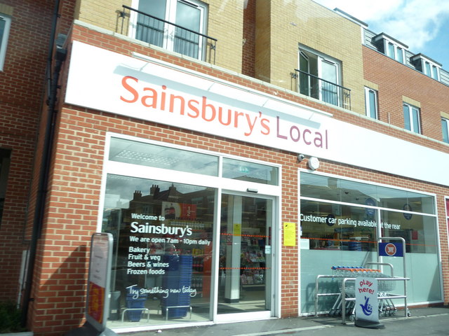
English: Bournemouth : Winton - Sainsbury's Local
|
| Date |
27 April 2009 |
| Source |
From geograph.org.uk |
| Author |
Lewis Clarke |
|
Camera location
|
50° 44′ 53.01″ N, 1° 52′ 37.92″ W
|
This and other images at their locations on: Google Maps - Google Earth - OpenStreetMap |
( Info)50.748059;-1.877200 |
Licensing
 |
This image was taken from the Geograph project collection. See this photograph's page on the Geograph website for the photographer's contact details. The copyright on this image is owned by Lewis Clarke and is licensed for reuse under the Creative Commons Attribution-ShareAlike 2.0 license. |
 The categories of this image should be checked. Check them now!
- Remove redundant categories and try to put this image in the most specific category/categories
- Remove this template
- The location categories are based on information from this geonames tool and this OpenStreetMap tool combined with a database. You can also have a look at this tool from mysociety.
- The topic category from Geograph was ' (find similar images at Geograph)
This image was uploaded as part of the Geograph batch upload
File usage
The following pages on Schools Wikipedia link to this image (list may be incomplete):
Through Schools Wikipedia, SOS Children's Villages has brought learning to children around the world. SOS Children works in 133 countries and territories across the globe, helps more than 62,000 children, and reaches over 2 million people in total. There are many ways to help with SOS Children's Villages.


