
File:Uttar Pradesh locator map.svg
Size of this preview: 458 × 480 pixels.
| |
This is a file from the Wikimedia Commons. Information from its description page there is shown below.
Commons is a freely licensed media file repository. You can help. |
| Description |
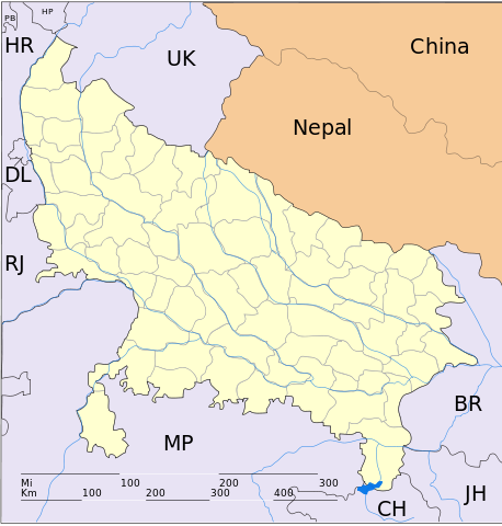
English: This map has been created by Faiz Haider, it is based on Map of Uttar Pradesh on National Portal of India. Equirectangular projection. Geographic limits of the map: top=31.00, bottom=23.50, left=76.60, right=85.00. |
| Date | 10 February 2009 (original upload date) |
| Source | Transferred from en.wikipedia; transferred to Commons by User:Hanhil using CommonsHelper. |
| Author | Original uploader was Faizhaider at en.wikipedia |
| Permission ( Reusing this file) |
Released into the public domain (by the author). |
Licensing
 |
This work has been released into the public domain by its author, Faizhaider at the wikipedia project. This applies worldwide. In case this is not legally possible: |
File usage
The following pages on Schools Wikipedia link to this image (list may be incomplete):
Metadata
Background information
All five editions of Schools Wikipedia were compiled by SOS Children's Villages. More than 2 million people benefit from the global charity work of SOS Children, and our work in 133 countries around the world is vital to ensuring a better future for vulnerable children. Sponsoring a child is the coolest way to help.