
File:Gwynedd 1247 Map.jpg
Summary
| Description |
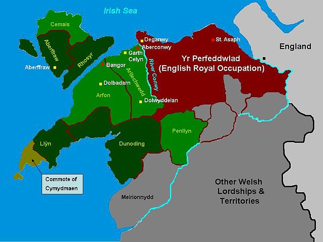
The situation in Gwynedd following the division of 1247 on map of the cantrefi, principal forts and political centres of Gwynedd at the kingdom's maximum extent, based on the historic borders of "between Dyfi and Dee". Map based on freeware outline from welshgraphics.com. I have used the maps found in J.Beverley Smith's "Llywelyn ap Gruffudd" (1998) as a visual guide. It has taken me days. |
|---|---|
| Source |
self-made |
| Date |
April 08 |
| Author |
James Frankcom ( talk) |
| Permission ( Reusing this file) |
See below.
|
Licensing:
|
I, the copyright holder of this work, hereby publish it under the following licenses:
You may select the license of your choice.
|

 |
This is a candidate to be copied to Wikimedia Commons. Freely licensed or public domain media are more accessible to other Wikimedia projects if placed on Commons. Any user may perform this move—please see Moving images to the Commons for more information. Please thoroughly review the copyright status of this file and ensure that it is actually eligible for transfer to Commons. If you are concerned that this file could have problems with its attribution information and/or copyright status, then remove this notice and DO NOT transfer it to Commons. By transferring this file to Commons, you acknowledge you have read this message and are willing to accept any and all consequences for inappropriate transfers. Repeat violators will be blocked from editing. If you have checked the file and it is OK to move to Commons add "|human=username" to the template so other users can see it has been checked and can help you copy the file to Commons. If the file has already been moved to Commons, then consider nominating the file for deletion or changing the template to {{Already moved to Commons}} If the file can't be moved to Commons because it doesn't fit Common's scope, then use {{Do not move to Commons|reason=Why it can't be moved to Commons}} If you think that a local copy of this file should be kept, then use {{Keep local}}. Consider using {{Keep local|reason=Why the English Wikipedia needs a local copy}} Copy to Commons: via CommonsHelper |
||
|
|||
File usage
I want to learn more...
Schools Wikipedia was created by children's charity SOS Childrens Villages. Thanks to SOS Children's Villages, 62,000 children are enjoying a happy childhood, with a healthy, prosperous future ahead of them. There are many ways to help with SOS Childrens Villages.