
File:Hadrian's Wall and Highshield Crags - geograph.org.uk - 1410581.jpg
Hadrian's_Wall_and_Highshield_Crags_-_geograph.org.uk_-_1410581.jpg (640 × 480 pixels, file size: 111 KB, MIME type: image/jpeg)
| |
This is a file from the Wikimedia Commons. Information from its description page there is shown below.
Commons is a freely licensed media file repository. You can help. |
Summary
| Description |
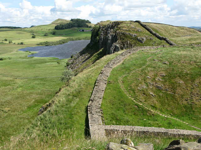
English: Hadrian's Wall and Highshield Crags Viewed from Milecastle 39, also in view are Crag Lough and the land rising towards Hotbank Crags in the distance.
|
| Date | 20 July 2009 |
| Source | From geograph.org.uk |
| Author | G Laird |
|
Camera location |
|
This and other images at their locations on: Google Maps - Google Earth - OpenStreetMap | ( Info) |
|---|
Licensing
 |
This image was taken from the Geograph project collection. See this photograph's page on the Geograph website for the photographer's contact details. The copyright on this image is owned by G Laird and is licensed for reuse under the Creative Commons Attribution-ShareAlike 2.0 license. |
| This file is licensed under the Creative Commons Attribution-Share Alike 2.0 Generic license. | ||
| Attribution: G Laird | ||
|
File usage
The following pages on Schools Wikipedia link to this image (list may be incomplete):
Want to know more?
Schools Wikipedia was created by children's charity SOS Children's Villages. More than 2 million people benefit from the global charity work of SOS Children's Villages, and our work in 133 countries around the world is vital to ensuring a better future for vulnerable children. Find out more about sponsoring a child.