
File:West Mansfield Friends Church.jpg
Size of this preview: 640 × 480 pixels.
| |
This is a file from the Wikimedia Commons. Information from its description page there is shown below.
Commons is a freely licensed media file repository. You can help. |
|
Camera location |
|
This and other images at their locations on: Google Maps - Google Earth - OpenStreetMap | ( Info) |
|---|
| Description |
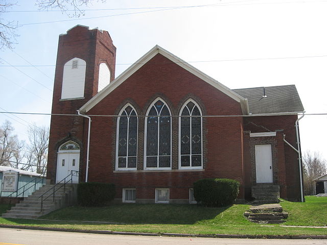
English: West Mansfield Friends Church, located on the southwestern corner of Centre (County Road 8) and Dean Streets in West Mansfield, Ohio, United States. It was built in 1912.
|
||
| Date | 5 April 2010 | ||
| Source | Own work | ||
| Author | Nyttend | ||
| Permission ( Reusing this file) |
|

File usage
The following pages on Schools Wikipedia link to this image (list may be incomplete):
Metadata
About Schools Wikipedia
Wikipedia for Schools is one of SOS Children's many educational projects. SOS Childrens Villages helps more than 2 million people across 133 countries around the world. There are many ways to help with SOS Childrens Villages.