
File:National-atlas-rhode-island.png
Size of this preview: 619 × 479 pixels.
| |
This is a file from the Wikimedia Commons. Information from its description page there is shown below.
Commons is a freely licensed media file repository. You can help. |
La bildo estas kopiita de wikipedia:en. La originala priskribo estas:
 |
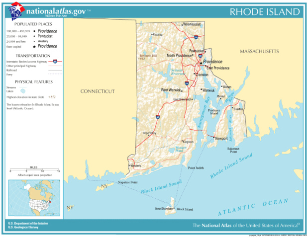
This map was obtained from an edition of the National Atlas of the United States. Like almost all works of the U.S. federal government, works from the National Atlas are in the public domain. Online access: NationalAtlas.gov | 1970 print edition: Library of Congress, Perry-Castañeda Library
|
 |
| date/time | username | edit summary |
|---|---|---|
| 22:27, 30 November 2004 | en:User:Jengod | |
| 20:31, 4 November 2004 | en:User:Jengod | ({{PD-USGov}} Category:Rhode Island maps) |
Historio de la dosiero
Legend: (cur) = this is the current file, (del) = delete this old version, (rev) = revert to this old version.
Click on date to download the file or see the image uploaded on that date.
- (del) (cur) 11:32, 13 December 2004 . . en:User:Berkut Berkut ( en:User_talk:Berkut Talk) . . 763x591 (75354 bytes) (reduced file size)
- (del) (rev) 20:31, 4 November 2004 . . en:User:Jengod Jengod ( en:User_talk:Jengod Talk) . . 763x591 (189814 bytes) ({ { PD-USGov } } en:Category:Rhode_Island_maps Category:Rhode Island maps)
File usage
The following pages on Schools Wikipedia link to this image (list may be incomplete):
The best way to learn
SOS Childrens Villages chose the best bits of Wikipedia to help you learn. By supporting vulnerable children right through to adulthood, SOS Children makes a lasting difference to the lives of thousands of people. Education is a key part of our work, and our schools provide high-quality teaching to the children in our care. Sponsoring a child is a great way to help children who need your support.