File:Formative Era sites.svg

| |
This is a file from the Wikimedia Commons. Information from its description page there is shown below.
Commons is a freely licensed media file repository. You can help. |
Contents |
Summary
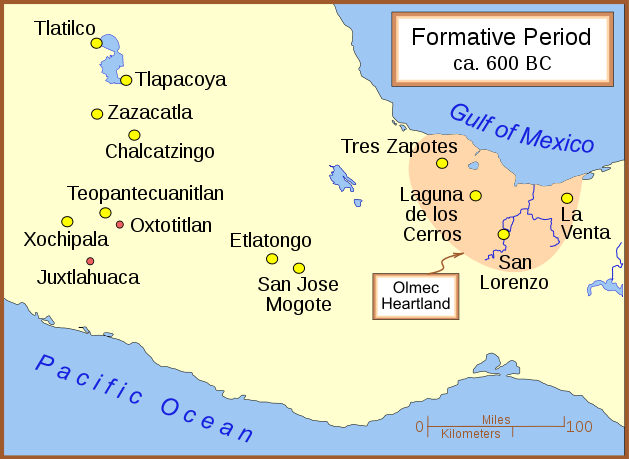
A map of the better known Mexican sites from the Formative Era, with a very general date of 600 BC (BCE). The yellow sites are known villages and towns. The smaller red dots mark locations where artifacts or art has been found without evidence of habitation.
Other versions
Part of a series:
-

Formative Period sites in Southeastern Mesoamerica
-

Map of the Olmec Heartland
-

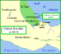
Classic era sites in Central Mexico
-

Site with early evidence for ballplaying
-

Maya sites in northern Yucatan 800 AD
Other versions
- English
Licensing
|
File usage
Metadata
Find out more
SOS Children's Villages aims to make Wikipedia suitable for young learners. Thanks to SOS Children, 62,000 children are enjoying a happy childhood, with a healthy, prosperous future ahead of them. There are many ways to help with SOS Childrens Villages.

