
File:LocationPolarRegions.png
Size of this preview: 640 × 326 pixels.
| |
This is a file from the Wikimedia Commons. Information from its description page there is shown below.
Commons is a freely licensed media file repository. You can help. |
 |
This map image could be recreated using vector graphics as an SVG file. This has several advantages; see Commons:Media for cleanup for more information. If an SVG form of this image is already available, please upload it. After uploading an SVG, replace this template with {{ vector version available|new image name.svg}}. |
Summary
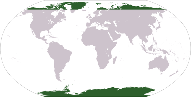
Map indicating the world's polar regions (i.e. Antarctica and area within Arctic Circle), based on Image:LocationAntarctica.png.
Licensing
 |
This image is in the public domain because it contains materials that originally came from the United States Central Intelligence Agency's World Factbook.
|
 |
| Annotations | This image is annotated: View the annotations at Commons |
File usage
The following pages on Schools Wikipedia link to this image (list may be incomplete):
- Africa
- African Great Lakes
- Arctic
- Arctic Ocean
- Asia
- Atlantic Ocean
- Central Africa
- Central America
- Central Europe
- Continent
- East Africa
- Eastern Europe
- Europe
- Horn of Africa
- Indian Ocean
- Latin America
- List of indigenous peoples
- Maghreb
- Mediterranean Sea
- Middle East
- North Africa
- North America
- Oceania
- Pacific Ocean
- South America
- Southern Africa
- Southern Europe
- Southern Ocean
- West Africa
Wikipedia for Schools...
Wikipedia for Schools is designed to make learning fun and easy. SOS Childrens Villages helps those who have nothing and no one, giving them back the famly they have lost and bringing them the very best opportunities for a happy, healthy future. There are many ways to help with SOS Children.