
File:Haarlem-City-Map-1550.jpg
| |
This is a file from the Wikimedia Commons. Information from its description page there is shown below.
Commons is a freely licensed media file repository. You can help. |
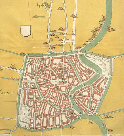
Summary
Image by en:user:guusbosman, 19. Sep 2004
http://en.wikipedia.org/wiki/Image:Haarlem-City-Map-1550.jpg
City map of Haarlem, ca 1550. The copyright of this map has expired.
Geschiedenis en beschrijving van Haarlem, van de vroegste tijden tot op onze dagen, F. Allan, J. J. van Brederode, Haarlem 1874
 |
This image (or other media file) is in the public domain because its copyright has expired. This applies to Australia, the European Union and those countries with a copyright term of life of the author plus 70 years.
|
|
|
|
File usage
About Schools Wikipedia
Schools Wikipedia has made the best of Wikipedia available to students. More than 2 million people benefit from the global charity work of SOS Children's Villages, and our work in 133 countries around the world is vital to ensuring a better future for vulnerable children. Would you like to sponsor a child?