
File:BES islands location map.svg
Size of this preview: 558 × 479 pixels.
| |
This is a file from the Wikimedia Commons. Information from its description page there is shown below.
Commons is a freely licensed media file repository. You can help. |
Summary
| Description |
English:
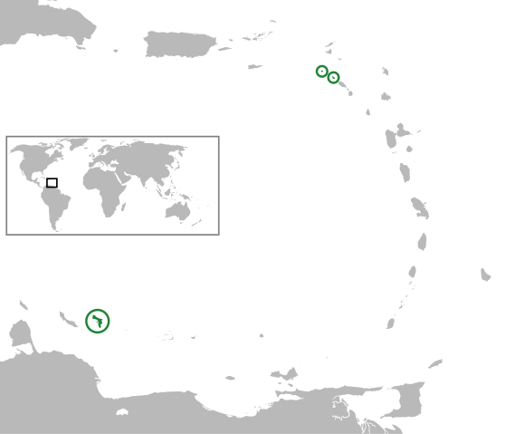
(Green) Bonaire, Saba and Sint Eustatius (from left to right, BES islands) In the Caribbean Netherlands, Lesser Antilles, Caribbean.Equirectangular projection, N/S stretching 103 %. Geographic limits of the map:
|
| Date | 2011-03-05 20:26 (UTC) |
| Source |
|
| Author |
|
| This is a retouched picture, which means that it has been digitally altered from its original version. Modifications: converted world map to SVG image and merged the two vector images to show the location of the BES islands in the Lesser Antilles. The original can be viewed here: Lesser_Antilles_location_map.svg. Modifications made by Thayts.
|
| This file is licensed under the Creative Commons Attribution-Share Alike 3.0 Unported license. | ||
|
File usage
The following pages on Schools Wikipedia link to this image (list may be incomplete):
Metadata
Did you know...?
All five editions of Schools Wikipedia were compiled by SOS Childrens Villages. SOS Childrens Villages believes education is an important part of a child's life. That's why we ensure they receive nursery care as well as high-quality primary and secondary education. When they leave school, we support the children in our care as they progress to vocational training or higher education. Help another child by taking out a sponsorship