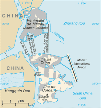
File:Macau-CIA WFB Map.png
Macau-CIA_WFB_Map.png (328 × 352 pixels, file size: 20 KB, MIME type: image/png)
File usage
The following pages on Schools Wikipedia link to this image (list may be incomplete):
Find out about Schools Wikipedia
Wikipedia for Schools was collected by SOS Children's Villages. SOS Children's Villages helps more than 2 million people across 133 countries around the world. We have helped children in Africa for many years - you can help too...


