
File:Weimar Republic 1930.svg
| |
This is a file from the Wikimedia Commons. Information from its description page there is shown below.
Commons is a freely licensed media file repository. You can help. |
Contents
|
Summary
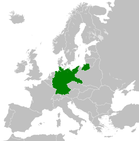
| Description | Deutsch: Karte der Weimarer Republik/Deutsches Reich innerhalb Europa, ca. 1930
English: Map of the Weimar Republic within Europe circa 1930.
Українська: Карта Веймарської республіки в Європі, 1930 рік.
|
| Date | 2011-10-27 02:10 (UTC) |
| Source |
|
| Author |
|
Licensing
| This file is licensed under the Creative Commons Attribution-Share Alike 3.0 Unported license. | ||
|
File usage
The following pages on Schools Wikipedia link to this image (list may be incomplete):
Metadata
Want to know more?
Wikipedia for Schools brings Wikipedia into the classroom. SOS Children believes education is an important part of a child's life. That's why we ensure they receive nursery care as well as high-quality primary and secondary education. When they leave school, we support the children in our care as they progress to vocational training or higher education. You can help by sponsoring a child.