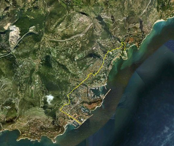
File:Monaco satellite map.png

Size of this preview: 574 × 480 pixels.
File usage
The following pages on Schools Wikipedia link to this image (list may be incomplete):
What is Schools Wikipedia?
This selection has made Wikipedia available to all children. Thanks to SOS Childrens Villages, 62,000 children are enjoying a happy childhood, with a healthy, prosperous future ahead of them. There are many ways to help with SOS Children.

