
File:Wembley Stadium map.png
Size of this preview: 631 × 479 pixels.
| |
This is a file from the Wikimedia Commons. Information from its description page there is shown below.
Commons is a freely licensed media file repository. You can help. |
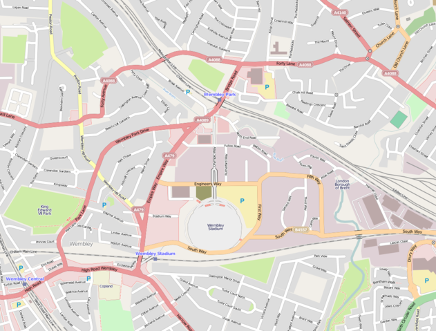
English: A map of England's Wembley Stadium in North West London, in relation to Olympic Way, Wembley Park/Central/Stadium stations, and the A406 (North Circular) Road (bottom right)
| Description | This map was created from OpenStreetMap project data, collected by the community. This map may be incomplete, and may contain errors. Don't rely solely on it for navigation. | |||||
| Date | 19 May 2010 | |||||
| Source | openstreetmap.org | |||||
| Author | OpenStreetMap contributors | |||||
| Permission ( Reusing this file) |
OpenStreetMap data and maps are licensed under the Creative Commons Attribution-ShareAlike 2.0 license (CC-BY-SA 2.0).
|
File usage
The following pages on Schools Wikipedia link to this image (list may be incomplete):
Schools Wikipedia facts
Wikipedia for Schools was collected by SOS Children. SOS Children cares for children who have lost their parents. Our Children's Villages give these children a new home and a new family, while a high-quality education and the best of medical care ensures they will grow up with all they need to succeed in adult life. There are many ways to help with SOS Children's Villages.