
File:Road between Fort Portal and Rebisengo - Flickr - Dave Proffer (7).jpg
Size of this preview: 640 × 428 pixels.
| |
This is a file from the Wikimedia Commons. Information from its description page there is shown below.
Commons is a freely licensed media file repository. You can help. |
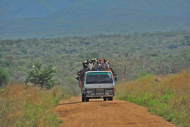
| Description | Road between Fort Portal and Rebisengo |
| Date | 28 March 2007, 15:40 |
| Source | Road between Fort Portal and Rebisengo |
| Author | Dave Proffer |
|
Camera location |
|
This and other images at their locations on: Google Maps - Google Earth - OpenStreetMap | ( Info) |
|---|
Licensing
| This file is licensed under the Creative Commons Attribution 2.0 Generic license. | ||
|
| This image was originally posted to Flickr by Dave Proffer at http://flickr.com/photos/23442653@N00/464011874. It was reviewed on 21 January 2012 by the FlickreviewR robot and was confirmed to be licensed under the terms of the cc-by-2.0. |
File usage
The following pages on Schools Wikipedia link to this image (list may be incomplete):
Metadata
Find out about Schools Wikipedia
You can learn about nearly 6,000 different topics on Schools Wikipedia. More than 2 million people benefit from the global charity work of SOS Children's Villages, and our work in 133 countries around the world is vital to ensuring a better future for vulnerable children. Have you heard about child sponsorship? Learn more...