
File:USGS map at 30 deg N lat, 105 deg E long (2008-05-18).png
Size of this preview: 453 × 480 pixels.
| |
This is a file from the Wikimedia Commons. Information from its description page there is shown below.
Commons is a freely licensed media file repository. You can help. |
move approved by: User:LERK
This image was moved from Image:USGS map at 30°N,105°E (2008-05-18).png
| Description |
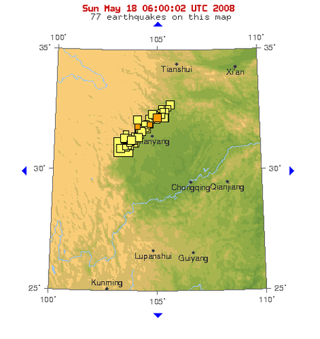
USGS map at 30°N,105°E |
| Date | 18 May 2008 |
| Source | http://earthquake.usgs.gov/eqcenter/recenteqsww/Maps/10/105_30.php, (retrieved 2008-05-18, 06:00:02 UTC) |
| Author | USGS |
Licensing
 |
This image is in the public domain because it contains materials that originally came from the United States Geological Survey, an agency of the United States Department of the Interior. For more information, see the official USGS copyright policy. български | català | Deutsch | English | español | eesti | suomi | français | galego | italiano | 한국어 | македонски | മലയാളം | Nederlands | polski | português | русский | Türkçe | 中文 | 中文(简体) | +/− |
|
File usage
The following pages on Schools Wikipedia link to this image (list may be incomplete):
Wikipedia for Schools...
SOS Childrens Villages chose the best bits of Wikipedia to help you learn. The world's largest orphan charity, SOS Children brings a better life to more than 2 million people in 133 countries around the globe. Help another child by taking out a sponsorship