
File:Geograph 886206.jpg
Size of this preview: 496 × 479 pixels.
| |
This is a file from the Wikimedia Commons. Information from its description page there is shown below.
Commons is a freely licensed media file repository. You can help. |
Summary
| Description |
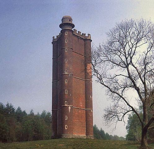
English: King Alfred's Tower
|
| Date | March 1984 |
| Source | From geograph.org.uk |
| Author | Trevor Rickard |
| Permission ( Reusing this file) |
Creative Commons Attribution Share-alike license 2.0 |
|
Camera location |
|
This and other images at their locations on: Google Maps - Google Earth - OpenStreetMap | ( Info) |
|---|
Licensing
 |
This image was taken from the Geograph project collection. See this photograph's page on the Geograph website for the photographer's contact details. The copyright on this image is owned by Trevor Rickard and is licensed for reuse under the Creative Commons Attribution-ShareAlike 2.0 license. |
| This file is licensed under the Creative Commons Attribution-Share Alike 2.0 Generic license. | ||
| Attribution: Trevor Rickard | ||
|
File usage
The following pages on Schools Wikipedia link to this image (list may be incomplete):
Did you know...?
Wikipedia for Schools brings Wikipedia into the classroom. SOS Children's Villages is an international children's charity, providing a good home and loving family to thousands of children who have lost their parents. We also work with communities to help vulnerable families stay together and raise children in the best possible environment. You can help by sponsoring a child.