 |
This is a file from the Wikimedia Commons. Information from its description page there is shown below.
Commons is a freely licensed media file repository. You can help.
|
Summary
| Description |
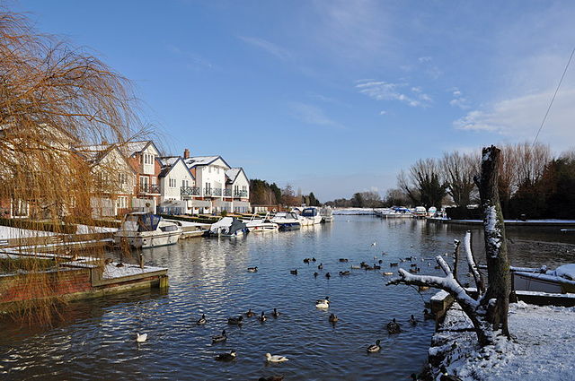
English: The end of the Chet, near to Loddon, Norfolk, Great Britain. This is the end of the navigational Chet at Loddon moorings. The Moorings on the right are free for 24 hours and on the left are private. The houses are built on the site of boat yards, when I was at first school in the nineties I remember them when feeding the ducks. When the boat trade moved else where luxury houses where built, transforming the view (For better or worse is debatable).
|
| Date |
30 January 2010 |
| Source |
From geograph.org.uk; transferred by User:Rubberstamp using geograph_org2commons. |
| Author |
Ashley Dace |
Permission
( Reusing this file) |
Creative Commons Attribution Share-alike license 2.0
|
|
Camera location
|
52° 32′ 16.29″ N, 1° 28′ 54.56″ E
|
This and other images at their locations on: Google Maps - Google Earth - OpenStreetMap |
( Info)52.537858;1.481822 |
Licensing
 |
This image was taken from the Geograph project collection. See this photograph's page on the Geograph website for the photographer's contact details. The copyright on this image is owned by Ashley Dace and is licensed for reuse under the Creative Commons Attribution-ShareAlike 2.0 license. |
File usage
The following pages on Schools Wikipedia link to this image (list may be incomplete):
Schools Wikipedia was created by children's charity SOS Childrens Villages. SOS Children is famous for the love and shelter it brings to lone children, but we also support families in the areas around our Children's Villages, helping those who need us the most. Want to learn more? Go to http://www.soschildrensvillages.org.uk/sponsor-a-child


