
File:Uruguay location map.svg
Size of this preview: 454 × 479 pixels.
| |
This is a file from the Wikimedia Commons. Information from its description page there is shown below.
Commons is a freely licensed media file repository. You can help. |
| Description |
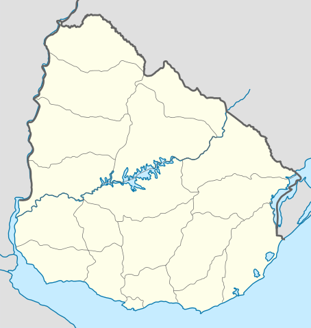
Deutsch: Positionskarte von Uruguay
Quadratische Plattkarte, Geographische Begrenzung der Karte:
English: Location map of Uruguay
Equirectangular projection, Geographic limits of the map:
|
| Date | 2009-10-25 22:22 (UTC) |
| Source |
|
| Author |
|
 |
Permission is granted to copy, distribute and/or modify this document under the terms of the GNU Free Documentation License, Version 1.2 or any later version published by the Free Software Foundation; with no Invariant Sections, no Front-Cover Texts, and no Back-Cover Texts. A copy of the license is included in the section entitled GNU Free Documentation License.
|
| This file is licensed under the Creative Commons Attribution-Share Alike 3.0 Unported license. | ||
|
File usage
The following pages on Schools Wikipedia link to this image (list may be incomplete):
Metadata
Learn more
Wikipedia for Schools is designed to make learning fun and easy. SOS Children's Villages helps those who have nothing and no one, giving them back the famly they have lost and bringing them the very best opportunities for a happy, healthy future. If you'd like to help, learn how to sponsor a child.