
File:Belfast, OpenStreetmap, April 2012.png
Summary
| Description |
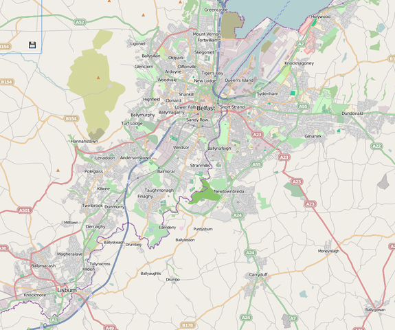
OSM render of Belfast and suburbs. |
|---|---|
| Source |
http://www.openstreetmap.org/ |
| Date | |
| Author |
OSM Contributors |
| Permission ( Reusing this file) |
http://www.openstreetmap.org/copyright
|
Licensing
| This work is licensed under the Creative Commons Attribution-ShareAlike 2.0 License. |
This map was generated by OpenStreetMap contributors using GPS data, and other 'free' sources. (see )
- In data : OSM mapping is licensed under the Open Database Licence and Database Contents Licence
- In tiles:
| This work is licensed under the Creative Commons Attribution-ShareAlike 2.0 License. |
 |
This is a candidate to be copied to Wikimedia Commons. Freely licensed or public domain media are more accessible to other Wikimedia projects if placed on Commons. Any user may perform this move—please see Moving images to the Commons for more information. Please thoroughly review the copyright status of this file and ensure that it is actually eligible for transfer to Commons. If you are concerned that this file could have problems with its attribution information and/or copyright status, then remove this notice and DO NOT transfer it to Commons. By transferring this file to Commons, you acknowledge you have read this message and are willing to accept any and all consequences for inappropriate transfers. Repeat violators will be blocked from editing. If you have checked the file and it is OK to move to Commons add "|human=username" to the template so other users can see it has been checked and can help you copy the file to Commons. If the file can't be moved to Commons consider nominating the file for deletion or changing the template to {{NotMovedToCommons|reason=Why it can't be copied to Commons}} If this image has been copied to Commons replace this tag with {{subst:ncd}} or {{subst:ncd|Image name on Commons.ext}} if a different filename is used on Commons. Copy to Commons: via CommonsHelper |
||
|
|||
File usage
Metadata
The best way to learn
Wikipedia for Schools was collected by SOS Childrens Villages. SOS Childrens Villages is famous for the love and shelter it brings to lone children, but we also support families in the areas around our Children's Villages, helping those who need us the most. Sponsoring a child is the coolest way to help.