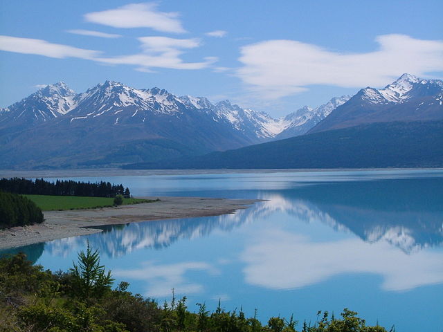
File:Tasman Valley - Aoraki Mount Cook - Canterbury.jpg

Size of this preview: 640 × 480 pixels.
| |
This is a file from the Wikimedia Commons. Information from its description page there is shown below.
Commons is a freely licensed media file repository. You can help. |
Summary
| Description | Taken from the road to Mt Cook village. |
| Date | 3 November 2006, 23:22 |
| Source | Tasman Valley (by Lesley) |
| Author | David Briody from Edinburgh, Scotland |
|
Camera location |
44° 4′ 24.70″ S, 170° 8′ 1.54″ E |
This and other images at their locations on: Google Maps - Google Earth - OpenStreetMap | ( Info)-44.073527;170.133762 |
|---|
Licensing
| This file is licensed under the Creative Commons Attribution 2.0 Generic license. | ||
http://creativecommons.org/licenses/by/2.0 CC-BY-2.0 Creative Commons Attribution 2.0 truetrue |
| This image, originally posted to Flickr, was reviewed on 18:19, 15 December 2007 (UTC) by the administrator or reviewer Arria Belli, who confirmed that it was available on Flickr under the stated license on that date. |
File usage
The following pages on Schools Wikipedia link to this image (list may be incomplete):
Metadata
This file contains additional information, probably added from the digital camera or scanner used to create or digitize it. If the file has been modified from its original state, some details may not fully reflect the modified file.
| Camera manufacturer | FUJIFILM |
|---|---|
| Camera model | FinePix A607 |
| Exposure time | 1/800 sec (0.00125) |
| F-number | f/8.8 |
| ISO speed rating | 125 |
| Date and time of data generation | 23:22, 3 November 2006 |
| Lens focal length | 15.2 mm |
| Orientation | Normal |
| Horizontal resolution | 72 dpi |
| Vertical resolution | 72 dpi |
| Software used | Digital Camera FinePix A607 Ver1.22 |
| File change date and time | 23:22, 3 November 2006 |
| Y and C positioning | Co-sited |
| Exposure Program | Normal program |
| Exif version | 2.2 |
| Date and time of digitizing | 23:22, 3 November 2006 |
| Meaning of each component |
|
| Image compression mode | 2 |
| Shutter speed | 9.6 |
| APEX aperture | 6.3 |
| APEX brightness | 9.19 |
| Exposure bias | 0 |
| Maximum land aperture | 3 APEX (f/2.83) |
| Metering mode | Pattern |
| Light source | Unknown |
| Flash | Flash did not fire, compulsory flash suppression |
| Supported Flashpix version | 0,100 |
| Colour space | sRGB |
| Focal plane X resolution | 3,827 |
| Focal plane Y resolution | 3,827 |
| Focal plane resolution unit | 3 |
| Sensing method | One-chip colour area sensor |
| File source | Digital still camera |
| Scene type | A directly photographed image |
| Custom image processing | Normal process |
| Exposure mode | Auto exposure |
| White balance | Auto white balance |
| Scene capture type | Standard |
| Sharpness | Normal |
| Subject distance range | Unknown |
Want to know more?
SOS Children has brought Wikipedia to the classroom. SOS Children works in 133 countries and territories across the globe, helps more than 62,000 children, and reaches over 2 million people in total. Find out how you can help children in other countries.
