
File:Mexico relief location map.jpg
Size of this preview: 640 × 418 pixels.
| |
This is a file from the Wikimedia Commons. Information from its description page there is shown below.
Commons is a freely licensed media file repository. You can help. |
| Description |
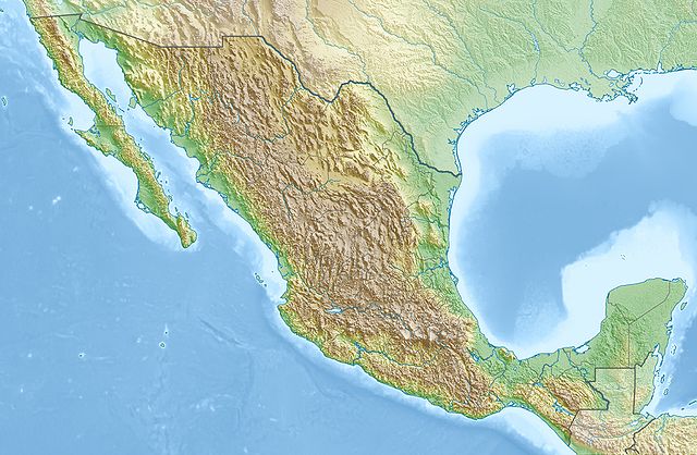
Deutsch: Physische Positionskarte von Mexiko
Quadratische Plattkarte, N-S-Streckung 110 %. Geographische Begrenzung der Karte:
English: Physical location map of Mexico
Equirectangular projection, N/S stretching 110 %. Geographic limits of the map:
|
|||||
| Date | 29 March 2010 | |||||
| Source | Own work, using map data from administrative map by NordNordWest. The relief was created from SRTM-30 relief data | |||||
| Author | Carport | |||||
| Permission ( Reusing this file) |
|
File usage
The following pages on Schools Wikipedia link to this image (list may be incomplete):
A background to Schools Wikipedia
Schools Wikipedia has made the best of Wikipedia available to students. SOS Children is there for the children in our care until they are ready for independence. Have you heard about child sponsorship? Learn more...