Checked content

File:Algeria location map.svg

Summary

Camera location

28° 19′ 0.00″ N, 1° 39′ 0.00″ E

This and other images at their locations on: Google Maps - Google Earth - OpenStreetMap ( Info)


Description
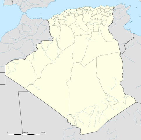
العربية: خريطة إدارية فارغة للجزائر، لأغراض موقع-جيو.
English: Blank administrative map of Algeria, for geo-location purposes.
Français : Carte administrative vierge de l' Algérie, destinée à la géolocalisation.

Scale: 1:6,800,000 (precision: 1,700 m)
Equirectangular projection, WGS84 datum

  • Central meridian: 001° 39' E
  • Standard parallel: 27° 31' 30" N

Geographic limits of the map:

  • Top: 37° 48' N
  • Bottom: 18° 15' N
  • Left: 009° 27' W
  • Right: 012° 45' E
Date November 2009
Source Own work
  • Sources of data:
    • NGDC World Data Bank II (public domain);
    • NGDC GSHHS (public domain);
  • Reference for the boundaries: SGIIAR (Système de Gestion Intégré de l'Information Agricole et Rurale of Algeria).
Author Eric Gaba ( Sting - fr:Sting)
Permission
( Reusing this file)
Attribution and Share-Alike required

Licensing

I, the copyright holder of this work, hereby publish it under the following licenses:
w:en:Creative Commons
attribution share alike
This file is licensed under the Creative Commons Attribution-Share Alike 3.0 Unported license.
You are free:
  • to share – to copy, distribute and transmit the work
  • to remix – to adapt the work
Under the following conditions:
  • attribution – You must attribute the work in the manner specified by the author or licensor (but not in any way that suggests that they endorse you or your use of the work).
  • share alike – If you alter, transform, or build upon this work, you may distribute the resulting work only under the same or similar license to this one.

GNU head Permission is granted to copy, distribute and/or modify this document under the terms of the GNU Free Documentation License, Version 1.2 or any later version published by the Free Software Foundation; with no Invariant Sections, no Front-Cover Texts, and no Back-Cover Texts. A copy of the license is included in the section entitled GNU Free Documentation License.

You may select the license of your choice.

The following pages on Schools Wikipedia link to this image (list may be incomplete):

Metadata

Did you know...?

Learning is fun and easy with Schools Wikipedia. SOS Children's Villages is an international children's charity, providing a good home and loving family to thousands of children who have lost their parents. We also work with communities to help vulnerable families stay together and raise children in the best possible environment. You can help by sponsoring a child.