
File:Map of downtown Rome during the Roman Empire large.png
Size of this preview: 640 × 452 pixels.
| |
This is a file from the Wikimedia Commons. Information from its description page there is shown below.
Commons is a freely licensed media file repository. You can help. |
| This is a retouched picture, which means that it has been digitally altered from its original version. Modifications: rasterized. The original can be viewed here: Map of downtown Rome during the Roman Empire large.jpg. Modifications made by helix84.
|
Summary
| Description |
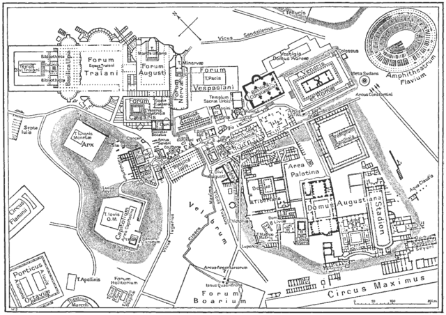
English: Map of antique downtown Rome, drawing.
Deutsch: Karte der antiken Innenstadt von Rom
|
| Date | 1916 |
| Source | from the Nordisk familjebok (1916), band 23, artikeln "Rom" , upload to Swedish wikipedia 23.10.2003 by Den fjättrade ankan |
| Author | Unknown |
Licensing
 |
This image was first published in the 1st (1876–1899), 2nd (1904–1926) or 3rd (1923–1937) edition of Nordisk familjebok. The copyrights for that book have expired and this image is in the public domain.
|
 |
File usage
The following pages on Schools Wikipedia link to this image (list may be incomplete):
Did you know...?
Schools Wikipedia has been carefully checked to give you the best learning experience. SOS Children helps more than 2 million people across 133 countries around the world. Will you help another child today?