 |
This is a file from the Wikimedia Commons. Information from its description page there is shown below.
Commons is a freely licensed media file repository. You can help.
|
| Description |
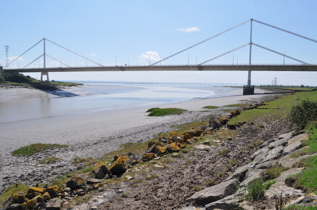
River Wye estuary and M48 Wye road bridge.jpg
English: The Severn Bridge spans the River Severn between South Gloucestershire, England, and Monmouthshire in South Wales,
Français : Le pont de la Severn franchit la Severn entre le Gloucestershire du Sud, Angleterre et Sir Fynwy en Galles du Sud
|
| Date |
23 July 2010 |
| Source |
From River Wye estuary and M48 Wye road bridge, near to Beachley, Gloucestershire, Great Britain - Geograph.org.uk |
| Author |
Nicholas Mutton |
Permission
( Reusing this file) |
 |
This image was taken from the Geograph project collection. See this photograph's page on the Geograph website for the photographer's contact details. The copyright on this image is owned by Nicholas Mutton and is licensed for reuse under the Creative Commons Attribution-ShareAlike 2.0 license. |
|
|
Camera location
|
51° 37′ 15.00″ N, 2° 40′ 9.00″ W
|
View this and other nearby images on: Google Maps - Google Earth - OpenStreetMap |
( Info)51.620833333333;-2.6691666666667 |
{{#coordinates:}}: invalid longitude
File usage
The following pages on Schools Wikipedia link to this image (list may be incomplete):
Wikipedia for Schools is designed to make learning fun and easy. More than 2 million people benefit from the global charity work of SOS Childrens Villages, and our work in 133 countries around the world is vital to ensuring a better future for vulnerable children. There are many ways to help with SOS Childrens Villages.


