
File:USA grants tomb.jpg
Size of this preview: 360 × 480 pixels.
| |
This is a file from the Wikimedia Commons. Information from its description page there is shown below.
Commons is a freely licensed media file repository. You can help. |
|
This is an image of a place or building that is listed on the National Register of Historic Places in the United States. Its reference number is 66000055. |
|
Camera location |
|
This and other images at their locations on: Google Maps - Google Earth - OpenStreetMap | ( Info) |
|---|
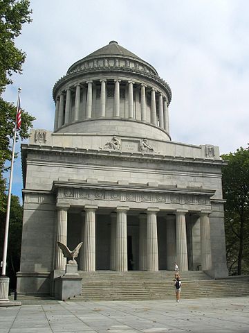
Grant's Tomb, Morningside Heights, New York City 40°48′49″N 73°57′47″W / 40.813478°N 73.963102°W. Image taken by User:Dschwen Sept. 16th, 2004
 |
Permission is granted to copy, distribute and/or modify this document under the terms of the GNU Free Documentation License, Version 1.2 or any later version published by the Free Software Foundation; with no Invariant Sections, no Front-Cover Texts, and no Back-Cover Texts. A copy of the license is included in the section entitled GNU Free Documentation License.
|
| This file is licensed under the Creative Commons Attribution-Share Alike 3.0 Unported license. | ||
|
||
| This licensing tag was added to this file as part of the GFDL licensing update.
|
File usage
The following pages on Schools Wikipedia link to this image (list may be incomplete):
Metadata
Background information
All five editions of Schools Wikipedia were compiled by SOS Children. SOS Childrens Villages is there for the children in our care until they are ready for independence. Help another child by taking out a sponsorship